What We Do
Professional Survey Services For Every Project
End-to-end surveying for industrial sites, buildings, infrastructure, and terrain. We deliver construction-ready drawings and datasets with total stations, GNSS, drones, and rigorous QA.
.png)
Industrial Survey / Factory
Warehouses, manufacturing plants, excavation mapping, PCC foundation setting, pedestal marking, bolt alignment, footing positioning.
Get Quote.png)
Building Survey
Excavation checks, PCC foundation, beam/column/slab marking, level & plumb verification to keep your structure on spec.
Get Quote.png)
Topography Survey
Roads, rivers, bridges, canals — contours, cross-sections, DTM/DEM for design, drainage, and earthwork planning.
Get Quote.png)
Transmission Line Survey
Route alignment, tower spotting, profiling, and right-of-way mapping for reliable transmission line execution.
Get Quote.png)
GPS / GNSS Survey
Control point establishment, cadastral tie-ins, geo-referencing for consistent, CAD/GIS-ready datasets.
Get Quote.png)
Drone / Aerial Survey
Orthomosaics, point clouds, volumes — faster progress tracking and earthwork estimation.
Get Quote.png)
Boundary / Layout Survey
Boundary demarcation, plot layout, setting-out with reference to deeds, approvals, and site realities.
Get Quote.png)
Road Survey
Centerlines, profiles, cross-sections, curves, and drainage mapping for roadway design and execution.
Get Quote.png)
River / Canal / Bridge Survey
Hydrological cross-sections, scour/bed levels, structure tie-ins for approvals and design support.
Get Quote
Property Survey
Detailed measurement of property boundaries, encroachments, and layout matching with legal records for ownership clarity.
Get Quote
Pipeline Survey
Route mapping, longitudinal profiling, and cross-section plotting for gas, water, and sewage pipeline projects.
Get Quote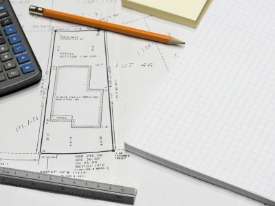
FMB Sketch Land Survey
Field Measurement Book (FMB) based survey for land verification, subdivision, and government record updates.
Get Quote
Hills Survey
Elevation mapping, contouring, slope analysis, and volumetric studies for hilly or undulating terrains.
Get Quote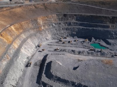
Mining Survey
Volume calculations, pit designs, safety boundary mapping, and production monitoring for mines and quarries.
Get Quote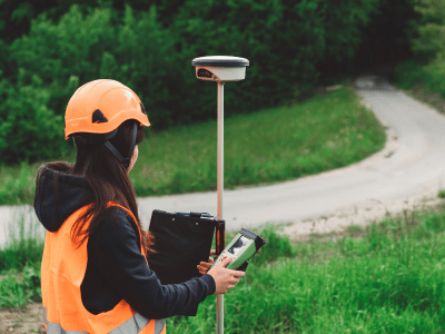
DGPS Survey
Differential GPS survey for centimeter-level accuracy in control point establishment and project georeferencing.
Get Quote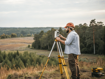
Setting Out Survey
Precise on-site marking for foundations, roads, pipelines, and utilities as per engineering design drawings.
Get Quote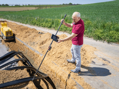
Boundary Survey
Legal and physical boundary verification, corner marking, and dispute resolution support with accurate coordinates.
Get Quote
Leveling Survey
Benchmark leveling, gradient measurement, and profile creation for roads, buildings, and infrastructure works.
Get Quote